Landscalpes and natural areas of Pic de Gleize
- From Gap, go up to the Bayard pass by the road to Grenoble. Between the sign indicating the Col Bayard and the entrance to the Gap-Bayard station, take a small road on the left indicated "Col de Gleize". Follow the main road until you reach the car...
Presentation
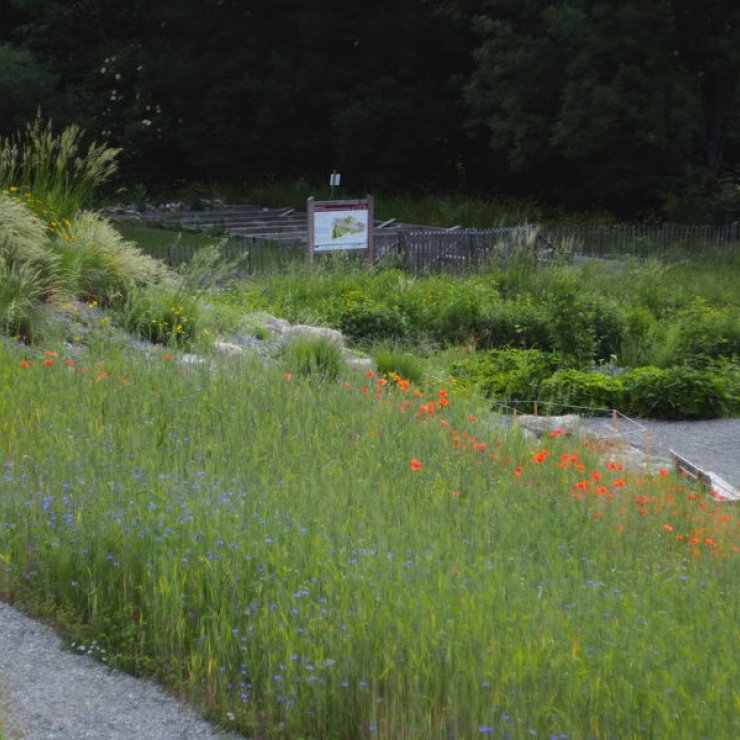
This fairly short hike allows you to discover varied environments (ridges, rocks, lawns ...) and rich in alpine flora. In the summer, you can also have the opportunity to observe chamois and marmots!
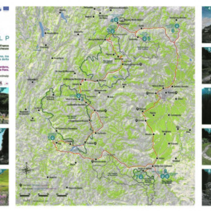
Map of the route: http://www.jardinalp.fr/?ItinerairesCharance
Downloadable GPS track: http://www.jardinalp.fr/map/trace-Jardinalp-Pic-Gleize.gpx
As part of the European Franco-Italian (Alcotra) "JARDINALP" programme, the CBNA proposes 3 itineraries to discover the natural heritage near the Alpine Garden of Gap-Charance: the Charance canal, the Gleize peak and a cycling itinerary around the Montagne d'Aujour.
More information on jardinalp.fr
Hiking boots required.
Thematic information available on http://www.jardinalp.fr/?ItinerairesCharance
Itinerary
Equipments
All year round.
Free access.


